
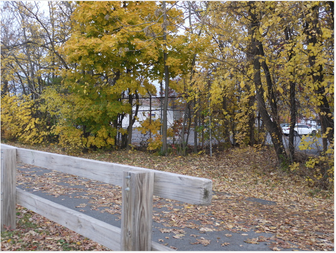
The middle of the bike path, in Malden across the street from the High School. Photo taken by Hadjar Yousfi.
The Northern Strand Community Trail (NSCT), otherwise known as the Bike Path, has been a staple of recreation in the City of Malden for almost ten years. The plan of the project has been to reuse old abandoned sections of land, road, and railway to create a trail that is open to both bikers and pedestrians, stretching from the Mystic River to Lynn. The final parts of this project are being worked on, with trail use beginning from the Mystic River in Everett up to Lynn.
The organization behind the bike trail, Bike to the Sea, has been advocating for this trail for over 20 years, and the fruits of their labor appear to be coming in. Construction is nearing completion at the extremities of the trail, with a fall ride occurring at the Mystic River and paving rapidly progressing towards the center of Lynn and the Nahant Spit.
The NSCT originates at the Mystic River. From this point, it continues north to the alignment of the Saugus Branch Railroad, an old railway line through Everett, Malden Center and Saugus. The last passenger trains along this route were in 1953, and the last freight service was in 1993. The path snakes its way north on the east side of the Malden River, crossing Medford Street and approaching the center of Malden.
Continuing along through Malden, the trail fits snugly into the area between Salem Street and Eastern Avenue, running behind the Malden High School, Salemwood School, Maplewood Square and crossing Broadway, all while maintaining the same position between Salem Street and Eastern Avenue. It heads behind the Linden STEAM Academy, crossing Beach and Lynn Streets in rapid succession, before leaving Malden and entering Saugus.
In Saugus, the trail continues north behind the Belmonte Upper Elementary School, before curving east and crossing the Beaver Brook. At this point, the path becomes the Community Path of Lynn and is associated with the Northern Strand Community Trail. The path continues into the West of Lynn, curving south near a Market Basket, and proceeding down to Bennett Street, where it terminates. There are potential biking routes beyond this, but those all share the road with cars or the sidewalk with pedestrians.
A potential route of the trail beyond this would see the trail continue east from the aforementioned Market Basket to the true center of Lynn, where it would then head southeast along Market Street to the Lynnway, at which point it would continue to the Nahant Spit, where it would head due south along the spit towards the city of Nahant.
Bike to the Sea has understandably been working hard, having a contract worth over $13 million to prosecute completion of the trail to its finish. As of October 2021, the projected completion date of the trail is in June 2022. In terms of continued construction, the organization is pouring concrete, extending the trail, fixing, creating, and upgrading intersections, and servicing recreational areas. It is a foregone conclusion that the organization is quite proud of their work.
With the bike path approaching the end of construction, the benefit to the communities along its route is very profound. The bike path provides a corridor of green space through urbanized suburbs, allowing residents to step back and smell the roses, even though surrounded by cars, houses and noise. It is evident that the bike path will become a fixture of the scene in our community for a very long time.
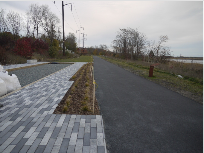
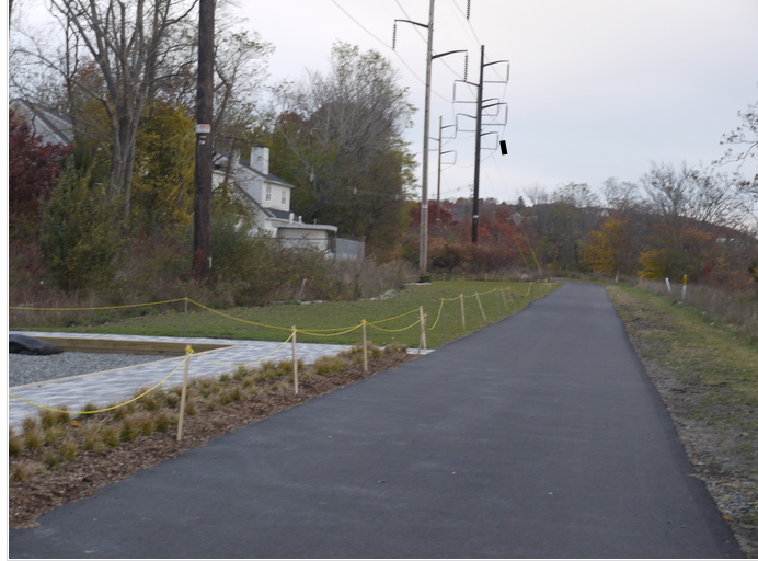
The bike path, running past the Rumney Marsh Reservation in Saugus, along an under-construction, path. Photo taken by Hadjar Yousfi. 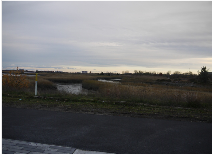
The bike path overlooking the Rumney Marsh Reservation. Photo taken by Hadjar Yousfi.